Archaeologists have digitally brought to light a Roman city in central Italy. The complex included a market, some temples and even a swimming pool.
Most of the buildings that make up the structure have not yet been unearthed and the innovative discovery was made using remote sensing instruments such as ground radar.
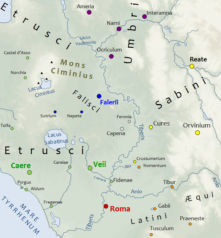
The researchers of the University of Cambridge examined an area near Rome, near the city of Falerii Novi, using a method called Ground Penetrating Radar (or GPR).
The results obtained, published in Antiquity, show that this type of investigation has the potential to revolutionize archaeological studies of urban sites, while challenging current methods of large-scale GPR dataset analysis.
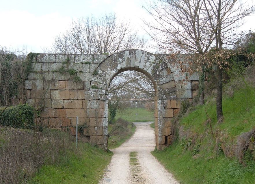
Located about 50 km north of Rome, Falerii Novi was founded in 241 BC, following the destruction by Rome of the nearby Falerii Veteres centre.

The occupation of Falerii Novi lasted from Roman times until the early Middle Ages (from the sixth to the seventh century AD).
The new study questions some hypotheses on Roman urban planning, showing that the plant of Falerii Novi was less standardized than many other well analyzed cities, such as Pompeii.

What is ground radar
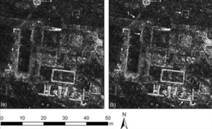
Ground penetration radar is a reliable method of providing high-resolution 3D images of non-visible structures beneath the ground.
GPR is not a new method and has been used successfully several times in this type of archaeological study. The radar looks like a lawnmower: you push it or drag it over the area you want to inspect; it sends an electromagnetic signal under the ground (just like a normal radar does). The signal is then reflected back to the antenna, and the contrast with the surrounding ground is highlighted. In this case, it allows the archaeological structures to be detected.
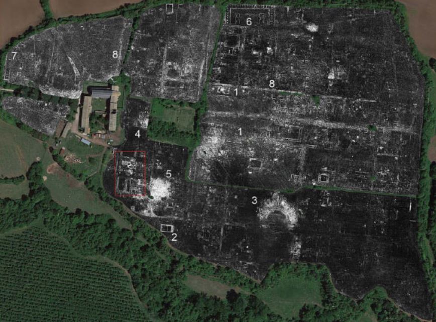
The team of archaeologists inspected all 30.5 hectares within the walls of Falerii Novi, collecting 71.7 million readings, each consisting of 400 time samples, equal to 28.68 billion data points, or about 4.5 GB of raw data per hectare.

Non-invasive archaeology
This method can reveal entire structures with relative ease and has the undisputed advantage of adopting non-invasive technology.
The author of the research, Professor Martin Millett of the University of Cambridge, said: “The astonishing level of detail we have achieved at Falerii Novi, and the surprising features that the GPR has revealed, suggest that this type of investigation could transform the way archaeologists investigate urban sites as a whole.
Because the team was able to visually represent the entire city, they were also able to analyze its urban planning. For example, in the southern parts of the city, just inside the walls, the GPR revealed a large rectangular building connected to a series of water pipes leading to the aqueduct.