
LiDAR Mapping Guides Riverbank Tree Planting to Protect Salmon Rivers
Researchers in Québec deploy high-resolution laser scanning to pinpoint where forest shade reduces water temperatures.
By Giovanni Sapere
2 min readHuman-Edited, AI-Assisted
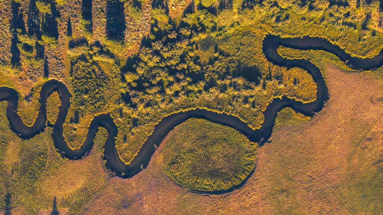
In October 2026, researchers from the Eau Terre Environnement Research Center at Canada's Institut National de la Recherche Scientifique revealed a targeted ecological innovation to protect Atlantic salmon from warming waterways. By combining high-resolution LiDAR scanning with spatial modeling along the Dartmouth River in Québec, the team demonstrated how strategic tree planting along riverbanks can cut summer solar radiation absorption by nearly 40 percent.
Critical thermal limits threaten cold-water salmon habitats
Every summer, waterways across eastern Canada face climbing temperatures that imperil native Atlantic salmon (Salmo salar). Optimal growth and swimming performance for the species occur at water temperatures below 20°C, but when conditions exceed 20 to 23°C, salmon experience severe physiological stress affecting their feeding, development and reproduction, according to Phys.org. While groundwater inflow and air temperature shape river conditions, solar radiation remains the primary external energy source heating water surfaces during summer heat waves. Where human activity has removed vegetative buffers along the shoreline, unshaded waters absorb excessive heat, making conservation innovation and the preservation of cold-water refuges essential for long-term ecological sustainability.
High-resolution LiDAR scans expose high-risk river corridors
To identify which stretches of water require urgent intervention, researchers Eva Enders and Nour El Houda Bejaoui led a study on the Dartmouth River in the Gaspé Peninsula, as documented by Phys.org. The team deployed LiDAR (Light Detection and Ranging), an optical remote sensing technology that generates three-dimensional representations of terrain and tree canopy, operating at a spatial resolution of one meter. By tracking solar exposure, the scientists created a metric known as unitary radiation to calculate the energy received per volume of water. The data revealed that narrow, shallow river reaches lacking riparian cover absorb up to 25 times more solar energy than deeper or naturally shaded sections.
Targeted reforestation models show significant cooling potential
Using their spatial data, the researchers simulated a targeted restoration scenario re-establishing a 30-meter-wide riparian buffer with a 12-meter-high canopy exclusively along degraded riverbanks, as outlined by Phys.org. The computer modeling demonstrated that selective planting reduces absorbed solar radiation across the waterway, achieving localized radiation cuts of up to 40 percent. Because public restoration budgets are limited along river networks stretching hundreds of kilometers, this computational technology transfer provides conservation authorities with a decision-support framework to prioritize upstream sections and vulnerable tributary junctions where tree planting yields the highest cooling return.
Read also on The Patent: University of Melbourne Study Maps 34 Percent Cut in EV Battery Emissions · AI Weed Control Sparks a Third Agricultural Revolution